YellowScan offers advanced LiDAR solutions that deliver reliable, high-quality data for all your 3D mapping needs. When you choose YellowScan, you’re investing in smart, precise, and easy-to-use technology – plus you get access to powerful software and the dedicated support of the YellowScan team. Together, it means you’re fully prepared to meet whatever challenges your projects bring.
As the exclusive YellowScan distributor, Drone Shop is here to support you with all your LiDAR requirements. Get in touch today and discover how the YellowScan ecosystem can help you achieve your business goals.
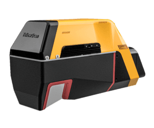
High-range UAV LiDAR with 360° scanning and dense vegetation penetration, ideal for vertical mapping.
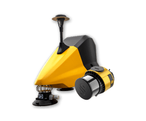
Fly & Drive utilises Surveyor Ultra LiDAR for drone and vehicle-based mapping
Bathymetric LiDAR system for mapping land and underwater topography with high precision
Lightweight, mid-range LiDAR system delivering high-density, accurate, and easy-to-use mapping with great value.
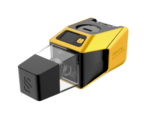
Compact, lightweight 3-echo LiDAR system delivering advanced, high-density performance for all mapping applications.
The highest-range LiDAR with 440m range, 100° FOV, and fastest 2.4MHz data rate.
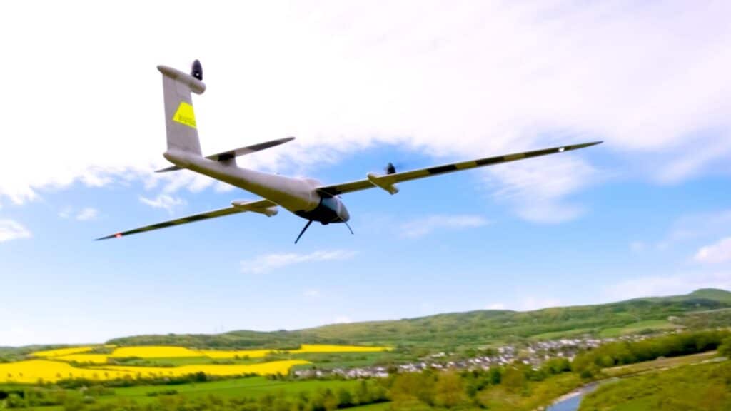
Lightweight, powerful long-range laser scanner for UAVs and manned aircraft, boosting survey productivity.
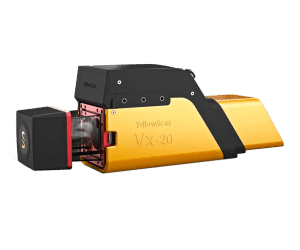
Powerful VX-Series UAV LiDAR using RIEGL MiniVUX and Applanix for adaptable, precision-driven surveys.
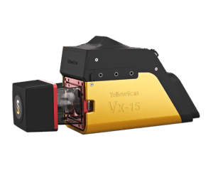
UAV LiDAR system with RIEGL MiniVUX, ideal for accurate, general-purpose mapping projects.
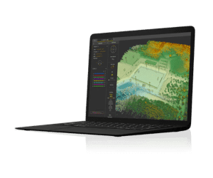
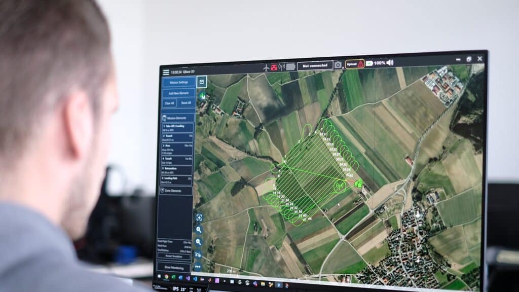
User-friendly software that streamlines point cloud generation, visualization, and overall data management.
YellowScan offers state-of-the-art LiDAR solutions, enhancing 3D mapping with precision technology, comprehensive software, and expert support. Our systems are designed for flexibility, tackling various surveying challenges effectively.
Specialized LiDAR Tools
Surveyor Ultra: The Surveyor Ultra is a high-performance LiDAR solution designed for accurate data capture in the most challenging environments. Whether you’re surveying dense vegetation, rugged terrain, or complex built-up areas, this system delivers precise and reliable results every time. Its advanced LiDAR technology ensures detailed 3D mapping, making it ideal for professionals who need dependable, high-resolution outputs in demanding field conditions.
Navigator: The Navigator is a specialised bathymetric LiDAR system built for accurate mapping in water and coastal environments. Using a powerful green laser and a wide 44° field of view, it captures both underwater and terrestrial features in a single pass. Ideal for projects like riverbed mapping, shoreline analysis, and flood risk assessment, the Navigator delivers high-precision data you can rely on. Its compact, lightweight design integrates seamlessly with a range of UAV platforms, offering flexible deployment for complex, multi-terrain surveys.
Fly&Drive: Fly&Drive is a versatile LiDAR solution built for seamless aerial and ground-based mapping. Designed to switch effortlessly between drone and vehicle use, it captures accurate geospatial data across varied environments. Perfect for corridor mapping, infrastructure surveys, and large-scale projects, it delivers reliable results with a streamlined workflow.
YellowScan solutions are used across a range of industries, including: forestry, mining, construction, utilities, environmental monitoring, flood risk assessment, and infrastructure planning.
While Yellowscan systems are designed to be user-friendly, training is highly recommended to ensure optimal use and data accuracy. We can assist with training options – please contact us to discuss what’s best for your team.
YellowScan systems are known for their accuracy, reliability, and user-friendly design. They offer fully integrated LiDAR solutions with intuitive software and are built specifically for professional UAV mapping.
LiDAR (Light Detection and Ranging) is a technology that uses laser light to measure distances and create detailed, accurate 3D maps of surfaces like land, buildings, and vegetation. It’s widely used in surveying, construction, and environmental projects.
Data from YellowScan systems is processed using CloudStation software. It allows users to generate, visualise, and export point clouds efficiently, streamlining the entire workflow.