Drones for surveying and mapping have undergone many changes over the years, utilizing GPS, land scanners, and other robotic tools. As time progresses, the need for drones to expedite data collection, enhance accuracy, and improve safety has increased. Survey and mapping drones can accelerate the process by 5-7 times compared to traditional methods.
Surveying involves the thorough examination of an object or area to define its boundaries, characterise its attributes, and assess its potential. Surveying methods typically encompass observation, measurement, research, and mapping. Surveys are commonly conducted to assess infrastructure, support urban development, and aid in mining activities.
Surveyors employ various methods to gather information, including 3D measurement tools, sensing equipment like sniffers and infrared devices, and aerial photography. Each of these traditional surveying tools has a specific purpose, and they often need to be used together to generate the most accurate survey results, a process that can be both time-consuming and costly.
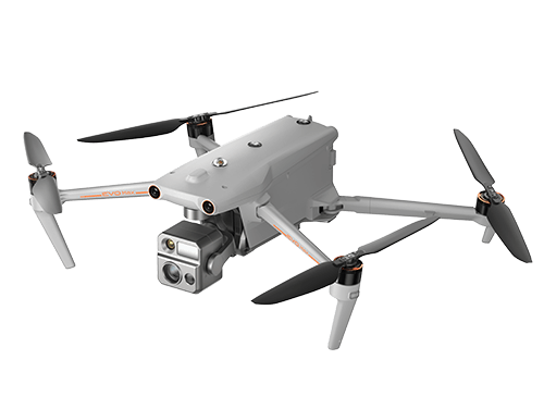
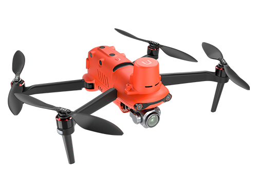
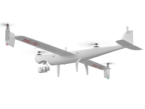
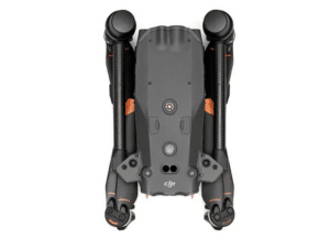
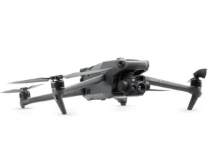
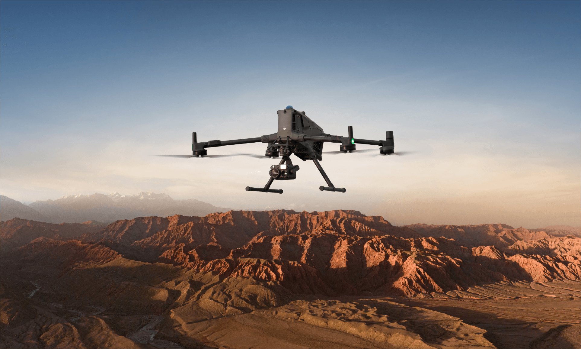
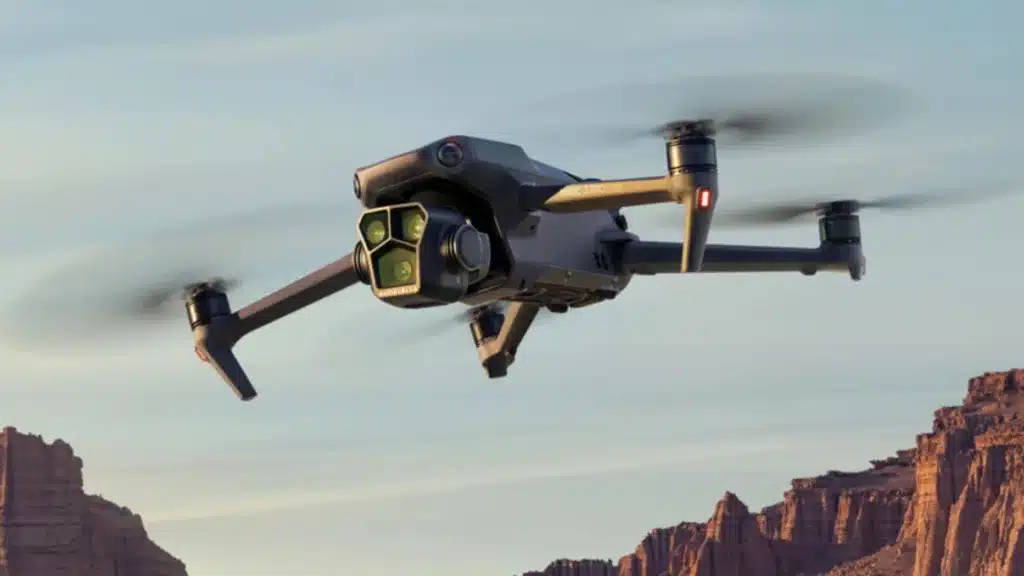
Utilising a drone, or UAV (Unmanned Aerial Vehicle), for aerial mapping offers the advantage of swiftly and effortlessly obtaining detailed data. Drones can be equipped with the necessary tools and accessories tailored to specific tasks, allowing for a customisable drone platform that delivers optimal results. Aerial imagery and precise mapping can replace conventional 3D measurement tools and sensing equipment. As a result, a survey drone is significantly more versatile and efficient compared to using these traditional tools individually.
Mapping is defined as the visual representation of information based on spatial relationships. It is typically used to depict scaled geographical features such as forests, roads, and bodies of water. This process is ongoing because frequent changes in climate conditions and structural developments necessitate regular updates to the maps. Mapping drones can help to overcome any challenges in this area as they are specifically built with the task in mind.
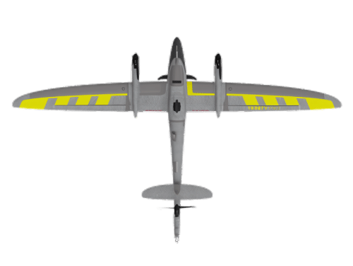
Initially, mapping drones relied solely on field measurements. However, the introduction of planes and later helicopters for aerial photography has significantly expanded mapping capabilities. This advancement has made it possible, for instance, to capture multispectral images that facilitate climate-related measurements.
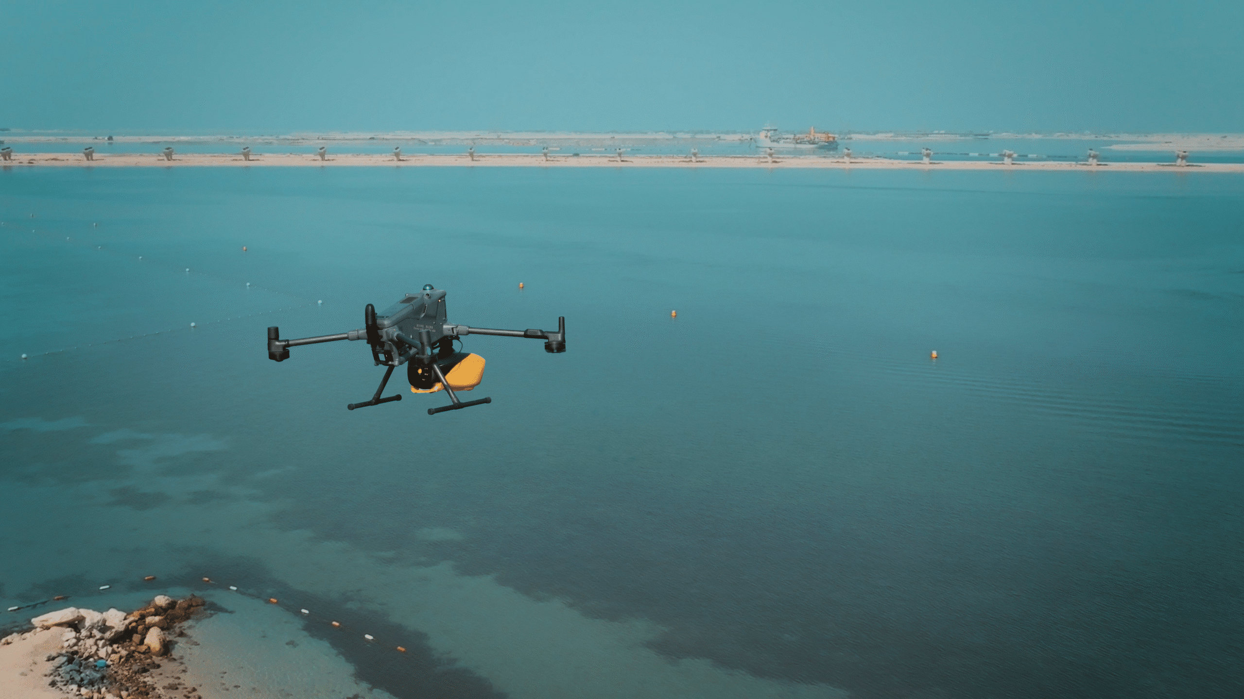
Conducting aerial photography using helicopters and planes is costly, demands trained personnel, and may be subject to safety regulations that limit its availability. Enter the mapping drone, offering an ideal alternative. These Unmanned Aerial Vehicles (UAVs) are cost-effective to operate, can be deployed instantly, and can be pre-programmed to follow specific routes via waypoint grids. Furthermore, the collected data is stored in a format that seamlessly integrates with geo-mapping software, enabling swift data implementation.
Utilising a drone, or UAV (Unmanned Aerial Vehicle), for aerial mapping offers the advantage of swiftly and effortlessly obtaining detailed data. Drones can be equipped with the necessary tools and accessories tailored to specific tasks, allowing for a customisable drone platform that delivers optimal results. Aerial imagery and precise mapping can replace conventional 3D measurement tools and sensing equipment. As a result, a survey drone is significantly more versatile and efficient compared to using these traditional tools individually.
Initially, mapping relied solely on field measurements. However, the introduction of planes and later helicopters for aerial photography has significantly expanded mapping capabilities. This advancement has made it possible, for instance, to capture multispectral images that facilitate climate-related measurements.
Conducting aerial photography using helicopters and planes is costly, demands trained personnel, and may be subject to safety regulations that limit its availability. Enter the mapping drone, offering an ideal alternative. These Unmanned Aerial Vehicles (UAVs) are cost-effective to operate, can be deployed instantly, and can be pre-programmed to follow specific routes via waypoint grids. Furthermore, the collected data is stored in a format that seamlessly integrates with geo-mapping software, enabling swift data implementation.
This depends on the type of drone used. It can range from 10 sqkm to 80 sqkm per day.
Different methods and drones provide varied outputs. We usually say that you can achieve 1cm-3cm relative accuracy if the process is executed correctly.
There are many types of data that can be collected using drones, for example, topographic data, point cloud data, 3D models, aerial images and thermal imagery.
Drones will save you money, collect data faster, and more accurately than ever. They will also improve safety for you and your team.
Drones offer several advantages for surveying and mapping, such as increased efficiency, reduced costs, and the ability to access difficult terrains. They provide high-resolution data and imagery, allow for rapid data collection, and minimize human risk in hazardous areas.
Yes, operating a drone for surveying requires specific skills and knowledge. This includes understanding of drone flight principles, navigation, data collection techniques, and often knowledge of photogrammetry and GIS software.
The battery life of surveying drones varies, but most commercial drones have a flight time of around 20 to 30 minutes per battery. This can be extended with additional batteries or by using drones specifically designed for longer endurance.
Data from drone surveys is processed using specialized software that converts aerial imagery into maps, 3D models, and other useful formats. This process often involves techniques like photogrammetry, where multiple images are stitched together to form coherent datasets.