At Drone Shop, we specialize in advanced Drone LiDAR systems tailored for precision mapping and surveying. Our drones are equipped with high-resolution 3D sensor imaging, ideal for applications such as terrain mapping, forestry, and urban scanning.
Our range includes various LiDAR-equipped drones designed to enhance the efficiency and accuracy of your projects including things such as Building Surveying, Terrain Mapping, Agriculture Management and Urban Scanning.
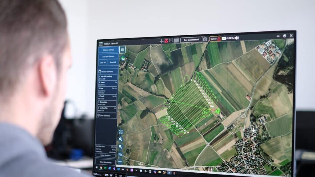
LiDAR technology in drones boosts scanning efficiency by using laser pulses to rapidly generate precise 3D information about the Earth’s surface. This capability ensures thorough site analysis and speeds up project timelines.
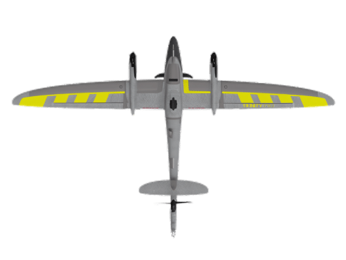
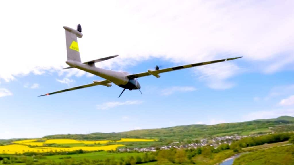
Long-range Drones: Built for extensive area coverage, these drones are perfect for large-scale surveys and environmental monitoring.
Thermal Imaging Drones: Equipped with thermal sensors, these drones excel in inspections and search and rescue missions, particularly in low-visibility conditions.
Industry Applications Our drones support various industries by improving operational efficiencies in:
Inspections: Streamlined inspections of infrastructure with detailed data.
Search and Rescue: Enhanced operations with drones capable of detecting human and animal heat signatures.
Environmental Monitoring: Precise environmental change analysis over time.
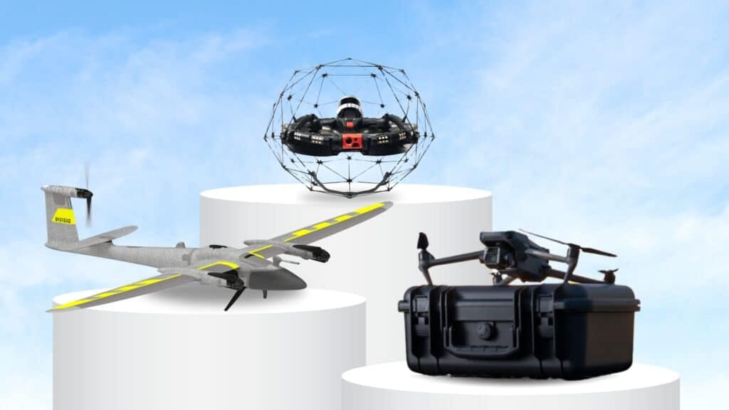
Finding the perfect commercial drone for your needs is easier than ever with Drone Shop. We offer a wide range of commercial drones for sale and enterprise drones for sale, each tailored to deliver exceptional performance. Our drones are equipped with state-of-the-art sensors and cameras, making them ideal for mapping, surveying, and other professional applications.
Ready to take your business to new heights? Contact Drone Shop today to learn more about our commercial and industrial drones for sale. Our team is here to answer your questions and help you find the perfect drone solution.
The drone emits laser pulses that bounce back from surfaces, measuring the time it takes for the light to return. This data is then processed to create detailed 3D models and maps.
You can expect high-resolution digital elevation models (DEMs), point clouds, contour maps, and vegetation analysis.
Drone LiDAR is commonly used in surveying, forestry, environmental monitoring, construction, and infrastructure inspection.
Absolutely! The data can be used for various analyses, including urban planning, flood modeling, and environmental assessments.
Drone LiDAR can achieve accuracy within a few centimeters, depending on factors like the quality of equipment and flying conditions.