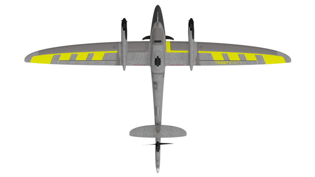
There are five payload sensors that can be used with the Trinity Pro:
Multispectral
LiDAR
RGB
Oblique
Phase One
Yes, the very easy to use pre planning software allows you to plan your flight from the comfort of your office, meaning when you get to the field all you have to do is assemble the drone and fly.
The Trinity Pro is very easy to assemble and lightweight meaning that it should only take you 5-10 minutes to starting your mission.
From placing your order to delivery will usually take around 2-3 weeks depending on government approvals.
Up to 7 km2 can be covered with one flight. This depends on the sensor and the level of accuracy you are looking to achieve.
They were formed in Germany originally. They have grown exponentially due to their military success and providing quality products to them and industrial clients. Quantum now has offices globally.
Fixed-wing drones are designed to resemble traditional airplanes, allowing them to fly longer distances and stay airborne for extended periods. They are ideal for large-area surveys, mapping, and inspections, as they cover more ground in less time compared to multirotor drones. Additionally, their efficient design consumes less energy, making them suitable for missions requiring endurance and range.
Fixed-wing drones excel in applications that involve covering vast areas or long distances. Common use cases include agricultural surveys, environmental monitoring, pipeline and powerline inspections, land mapping, and infrastructure inspections for highways or railways. Their ability to operate over long ranges makes them particularly useful in industries requiring high-efficiency data collection.
The Quantum Systems Trinity Pro is a fixed-wing enterprise drone designed for professional applications, particularly in mapping, surveying, and surveillance. It boasts an impressive flight endurance of up to 90 minutes and a range of advanced features that make it suitable for large-scale survey and mapping projects. Equipped with high-resolution cameras and sophisticated sensors, like LiDAR, the Trinity Pro captures detailed aerial imagery with exceptional clarity and accuracy. Its modular design allows for easy transportation and quick assembly in the field, enhancing operational efficiency. Built to withstand challenging environmental conditions, this drone offers reliability and performance that meet the demands of commercial drone users seeking the undoubted best aerial solution on the market.