Introducing the

Autel Mapper

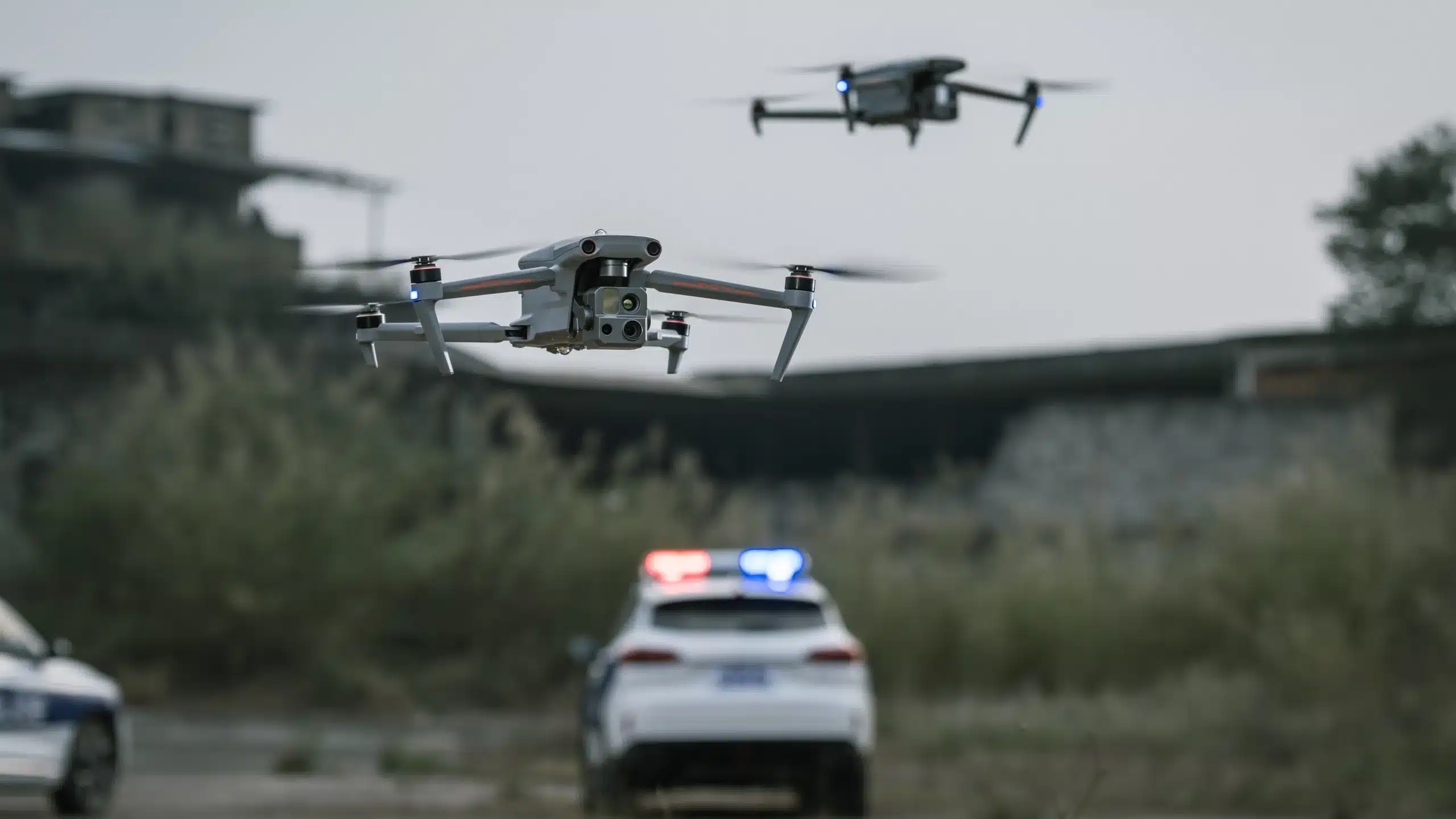
Autel Mapper is your premier choice for 2D and 3D reconstruction software, offering both cloud and local processing options, powered by cutting-edge deep learning technology for exceptionally precise results.

Specialist Advice & Training with our Knowledge Bar

Technical

The AI deep-learning algorithms set Autel Mapper apart as one of the industry's fastest map processing solutions. With unmatched accuracy in 2D and 3D reconstruction, even for small objects, this results in unparalleled models and maps.

The Autel Mapper seamlessly integrates traditional and deep learning algorithms, significantly enhancing the completeness of 3D models. You have the flexibility to choose from three reconstruction quality options: high, medium, and low, catering to diverse industry requirements. It excels at reconstructing small objects, meeting the demands of various sectors.

With Autel Mapper, you can easily batch import images captured by Autel drones, swiftly generating 2D maps and renderings using advanced image orthorectification and rapid stitching algorithms. Plus, leverage the cloud for faster output and rendering than ever before.

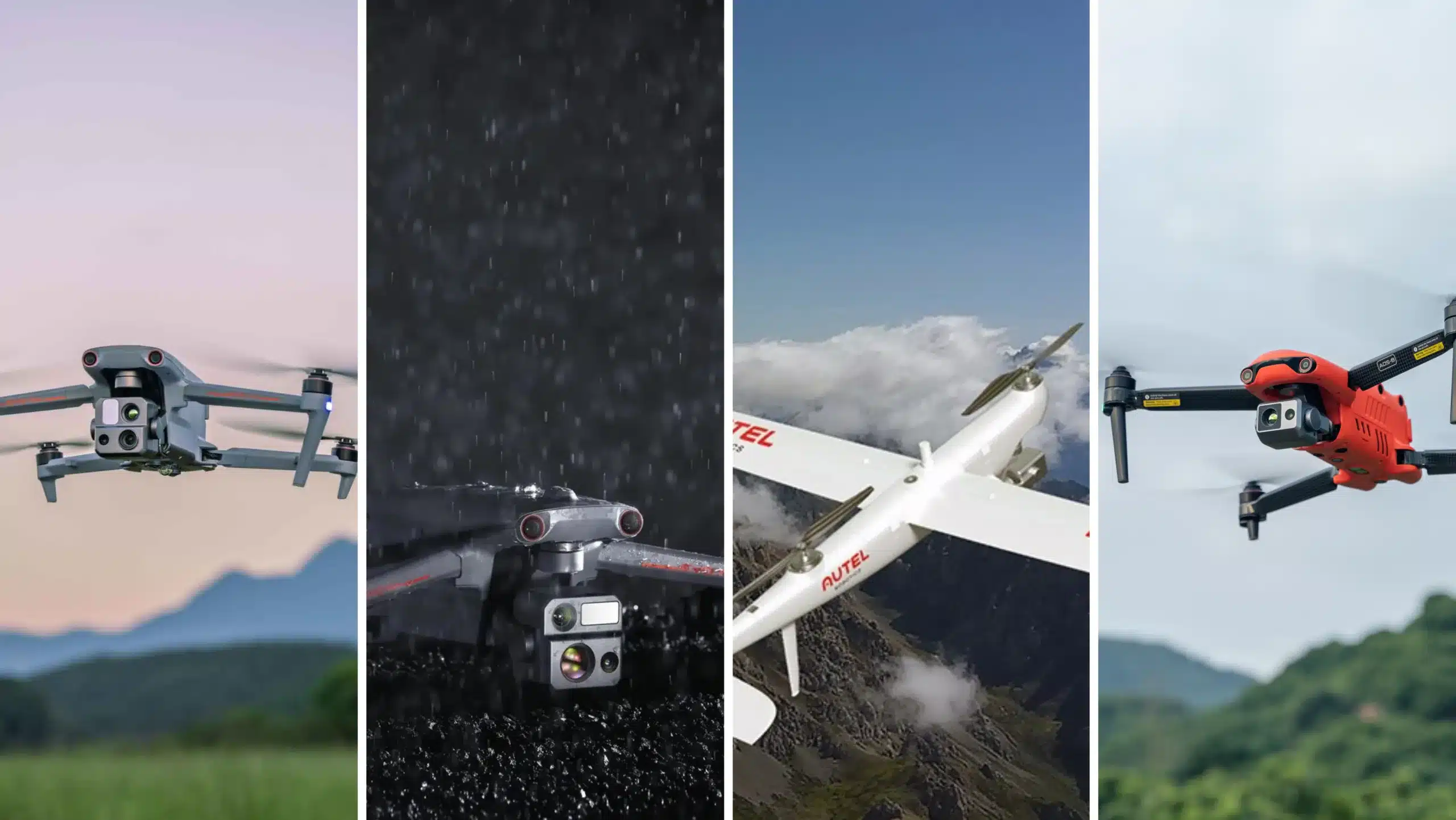
Drone Specification

Knowledge Bar Verdict

The mapping software industry has been crying out for a new platform that can handle the busy day to day of surveying and mapping, 3D modelling and re construction. Autel Mapper promises to deliver high quality data sets which will make you the shining star in all of your clients eyes.

Overal Rating

4.8

Best for Use

Surveying and Mapping
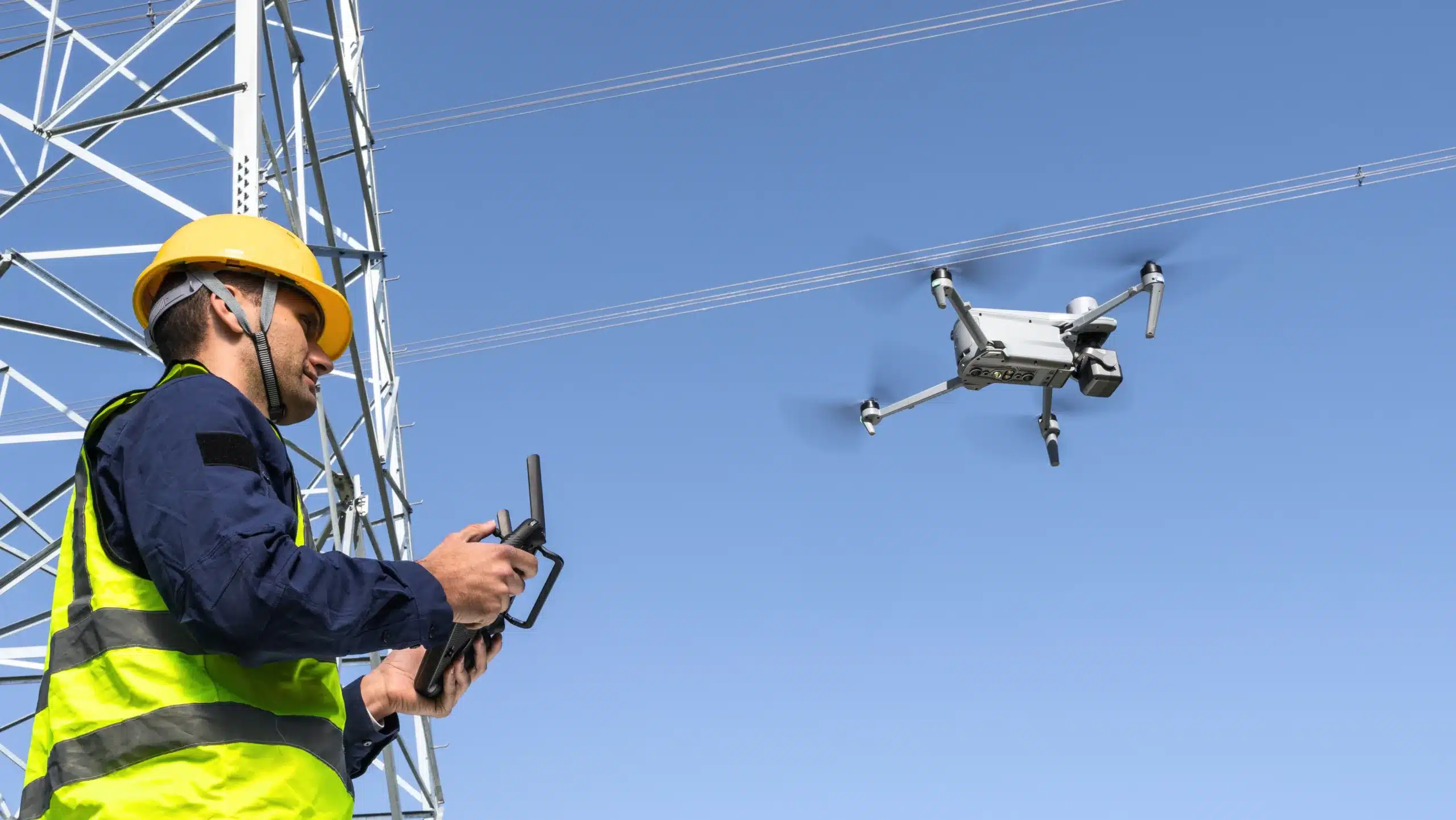
Inspections
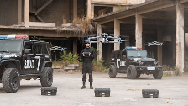
Security and Surveillance
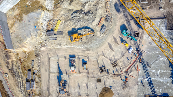
Construction
Oil and Gas

Request a demo

Find out more info on the Autel Mapper from the knowledge bar

Working best by

Industry

Blogs and Information on the Autel Mapper

Let's get

Connected

Location

Dubai

Our hours

9:00 AM – 5:00 PM
Monday – Friday

Contact us

Autel Mapper

Frequently Asked Questions

Most frequent questions and answers on the Autel Mapper

Yes, the trial period is for 3 months.

The POS file text in preview will change to blue if the import is successful.

Reconstruction accuracy is linked to factors such as the camera distortion, image quality, altitude, front and side overlaps, GPS/RTK positioning accuracy, and the scene texture.

Click on the contact us section and either call, whatsapp or email Drone Shop to take you through the very easy process.

Need to contact us for further information

Your Details

Contact Us

Need to contact us for further information

Fly - Support, Maintenance & Training

Details & Information

Need to contact us for further information

Buy -Purchase a drone

Details & Information

Need to contact us for further information

Try - Request a Demo

Details & Information